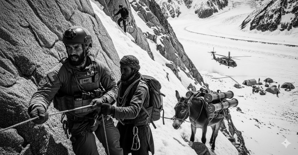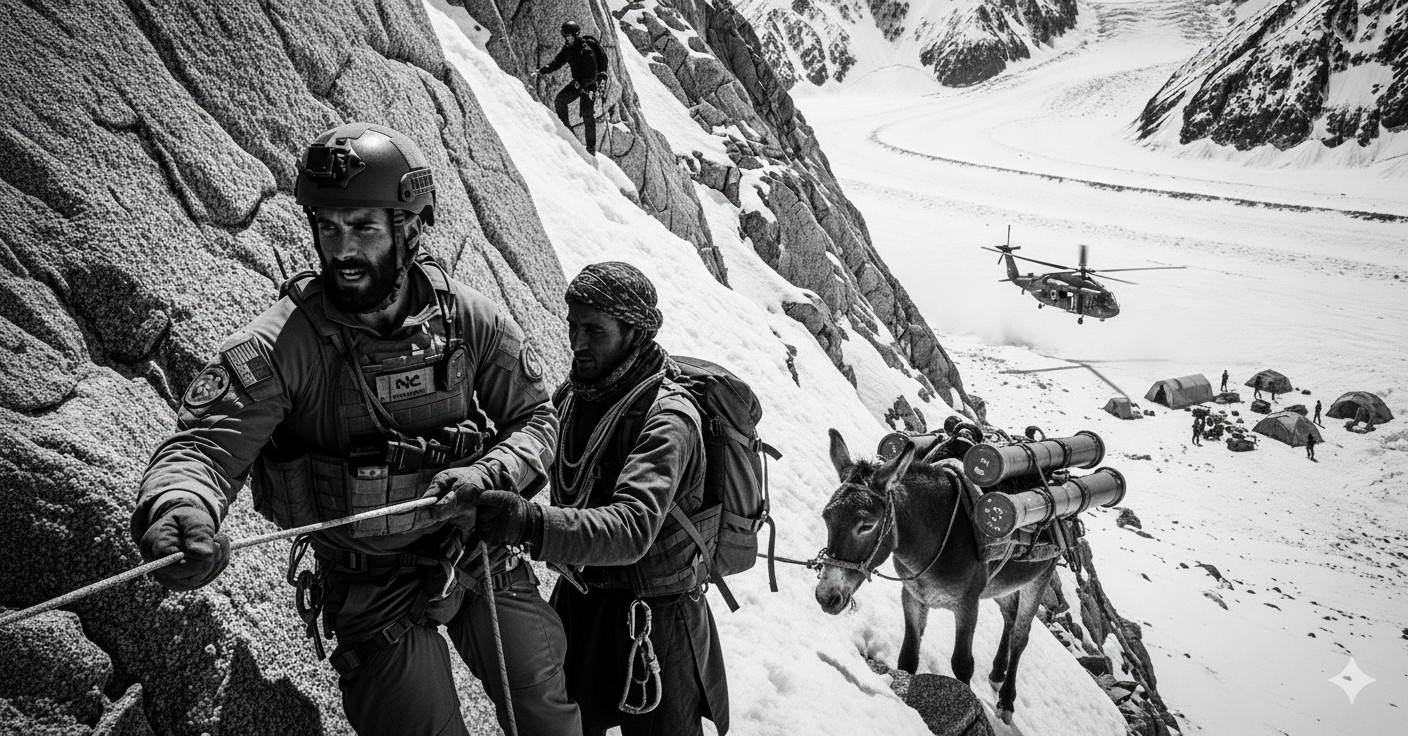
This analysis examines how irregular warfare in the mountains can counter China’s coercion along the Himalayan rim, the Tibetan plateau, and Taiwan’s central range—where geography turns altitude, weather, and culture into decisive variables. It synthesizes credible open sources, military doctrine, and historical precedents to outline a practical, partner‑centric approach for Special Operations Forces (SOF).
Key Facts
Mountain footprint: ~70% of Taiwan is mountainous; the Line of Actual Control (LAC) and Siachen sector sit among Earth’s highest battlefields.
Gray‑zone leverage: PRC control of transboundary headwaters on the Tibetan plateau enables coercion of lower riparian states through dams, diversions, and infrastructure.
Operational reality: Altitude, cold, and terrain degrade aviation, artillery, drones, batteries, and C2—conditions where irregular warfare in the mountains can outperform conventional formations.
Center of gravity: Resilient indigenous mountain communities provide sanctuary, support, and cultural endurance for protracted resistance campaigns.
Why mountains shape modern conflict
Mountain geography is not just backdrop; it is a domain that refracts strategy. From Kashmir and Siachen to Taiwan’s Chungyang Shan, altitude multiplies friction. Scarce roads, sheer gradients, avalanches, and low‑density air complicate movement, sustainment, fires, and air defense. In such conditions, the main enemies are often altitude, cold, and terrain rather than opposing forces. These realities reward dispersion, autonomy, and adaptation—core attributes of irregular warfare in the mountains.
Gray‑zone coercion: rivers, dams, and borders
The PRC’s upstream position on Asia’s major rivers confers structural leverage. By sequencing dams, diversions, and “xiaokang” model villages along ambiguous boundaries, Beijing incrementally changes facts on the ground while avoiding open conflict. Control of headwaters—often called Asia’s “water tower”—can throttle irrigation, hydropower, and fisheries downstream, transforming geography into economic pressure.
In this political‑economic battlespace, the instruments of power include engineers, surveyors, and information operations as much as infantry. Successful counter‑coercion therefore pairs diplomatic pressure and sanctions with irregular warfare in the mountains—surveillance of illicit construction, targeted disclosure, and non‑kinetic disruption executed by trained local partners.
When crisis becomes conflict at altitude
Should a crisis escalate—across the LAC or in a Taiwan invasion—mountain physics impose hard limits. Thin air reduces lift, payload, and loiter; severe weather intermittently grounds aircraft; narrow valleys blind radars and GPS; strong winds distort ballistics; batteries lose capacity in cold. Drones, MLRS, and artillery underperform; resupply falters; casualties from exposure rival those from contact. Conventional units dither in terrain that punishes mass.
By contrast, irregular warfare in the mountains decentralizes logistics and C2, leverages micro‑sanctuaries, and fuses local knowledge with selective technology (low‑SWaP sensors, mesh comms, passive ISR). The result is endurance and ambiguity: the ability to attrit, fix, and exhaust a stronger adversary over time.
Irregular warfare playbook for mountainous theaters
A viable playbook centers on indigenous partners and layered effects:
Resilience to Resistance (R2D2)
Resilience is connective tissue. Community preparedness, caches, medical training, and information discipline convert social capital into staying power. As pressure mounts, resilience scales into organized resistance—sabotage of illegal works, route denial, and sensor‑enabled ambushes—complementing diplomatic and legal actions. This is the practical arc of irregular warfare in the mountains.
Sanctuary + Support (How the Weak Win)
Two ingredients anchor successful guerrilla campaigns: physical sanctuary and a supportive population. Mountain massifs provide the first; resilient tribes provide the second. SOF advisory missions should therefore prioritize human terrain mapping, cultural liaisons, and village defense forces, not just kinetic capabilities.
SOF tasks tailored to altitude
Priority tasks include: clandestine ISR of gray‑zone infrastructure; EW in canyoned terrain; precision sabotage of roads, bridges, and staging areas; weather‑adapted mobility (skis, skins, light over‑snow); high‑angle marksmanship; austere medicine for HAPE/HACE; and mesh‑network communications with burst transmissions.
Precedents that still teach
The Devil’s Brigade lineage
The 1st Special Service Force recruited mountaineers, woodsmen, and prospectors, then trained for high‑altitude winter operations—proof that selection and environment‑specific preparation yield outsized returns.
ST CIRCUS in Tibet
During the 1950s–70s, U.S. paramilitary operators trained Tibetan tribes at Camp Hale and parachuted them back into the plateau. The program illustrated how external support can harden indigenous resistance under occupation.
Montagnards and the CIDG model
In Vietnam’s central highlands, Green Berets and Montagnards built a durable alliance around village defense, reconnaissance, and ambush. The template—sanctuary plus support—maps cleanly to today’s Himalayan rimlands and Taiwan’s interior.
Implications for NATO and Indo‑Pacific partners
Policy should seed capacity before crisis. Recommended lines of effort:
1) Mountain‑SOF force design: Invest in altitude‑rated training pipelines, cold‑weather sustainment, and indigenous‑partner schools. Build small, high‑skill detachments able to live light, move silent, and mentor village defense networks.
2) Sensor‑first surveillance: Field low‑SWaP sensors, passive RF, and commercial SAR tasked to detect illegal construction, diversions, and advance camps. Combine with crowdsourced reporting and authenticated disclosure.
3) Legal and informational fires: Pair partner‑led disruption with lawfare—treaty violations, riparian rights, and environmental harm—while exposing gray‑zone tactics through coordinated public diplomacy.
4) Logistics at the edge: Pre‑position caches, modular sleds, solar‑thermal charging, and animal packing lines. Redundancy beats velocity when weather grounds air.
5) Cross‑learn from air & missile defense: Mountain canyons complicate radar coverage; apply lessons from SHORAD and counter‑UAS layering to build passive, deception‑heavy defense in depth (see our analysis on UAV swarms vs. SHORAD [1]).
Conclusion
Geography stacks the deck. At altitude, the side that harnesses culture, climate, and concealment gains time—the most strategic commodity. By cultivating resilient partners and tailoring capabilities to mountain physics, democracies can raise the costs of coercion, slow aggression, and, if necessary, wage irregular warfare in the mountains that attrits and outlasts stronger foes.
References
- Defence Agenda — UAV swarms vs. SHORAD
- Small Wars Journal — The Answers are in the Mountains
- CSIS — China’s Gray‑Zone Infrastructure Strategy
- Irregular Warfare Center — Irregular Warfare in Times of Peace
- U.S. DNI — Global Water Security (2012)
- UNESCO — World Water Development Report (2020)
- CFR — Why China Would Struggle to Invade Taiwan
- Taiwan Data Stories — Mountains over 3,000 m
- ARSOF History — 1st Special Service Force
- NPS Thesis — Tibetan Insurgency Support
- ARSOF History — CIDG & Montagnards
- Al Jazeera — 2012 Siachen Avalanche


